

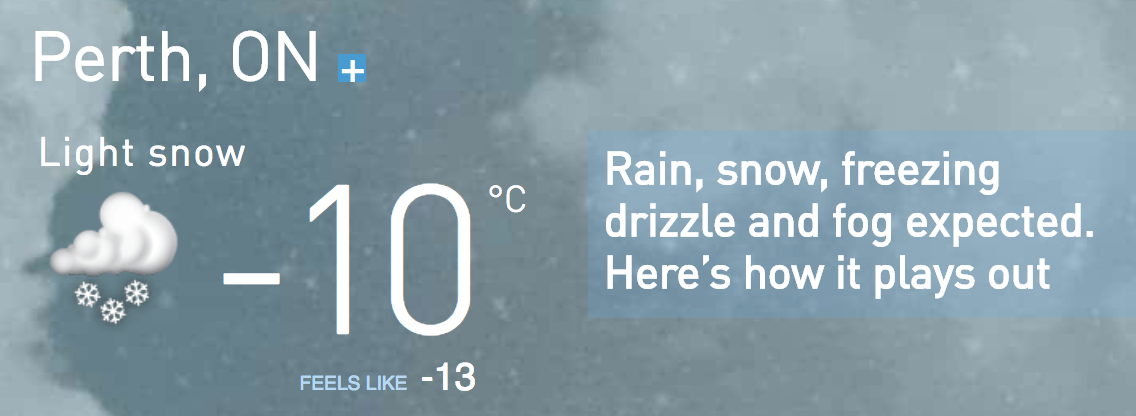
Dec. 24th – a snow warning! 8 cm... snow cover of 33 cm


So, for those dreaming of a white Christmas, you will get your wish. A Texan low is gathering strength this morning and will race towards us approaching the speed of Rudolph later today. It will transport snow into Southern Ontario beginning this afternoon. As the low pressure centre dashes just south of the lower Great Lakes tonight, snow will intensify across Southern Ontario this evening. Somewhat heavier snow is likely in some areas, especially in the Greater Toronto Area where a snowfall warning is in effect. Visibility may be limited likely making travel challenging. Snowfall totals of 5 to 10 centimetres are expected by the time it tapers off overnight or on Christmas Day in Eastern Ontario. Travelers are encouraged to adjust their plans if possible.
Dec. 23 – lots of snow: 7.5cm, melted = 10.5mm


Two wildly divergent forecast models for Sat and 2 VERY different possible outcomes. (Latest GEM and RPM runs). There is an extremely fine line between "Haves" and "Have Nots" as you move across from North to South across the region. The truth is likely in between. I"ll say 5cm pic.twitter.com/5dT5St2BZz— Ian Black (@BlacksWeather) December 22, 2017
Dec. 22 – durn cold, a nice snow cover of about 16cm


Dec. 19 – temperatures have risen to +5 C.

Dec. 18 – more snow 3.5 cm
I've been melting the snow, to figure out how much actual water there is. Some snow is fluffier than other snowfalls!

Dec. 15 – 4cm snow
Dec. 13 – the sun is rising, though.

Dec. 12 – snow day!
We've gone from a sunny day, to a snow day.


Mon., Dec 11

Dec. 9 – 1 cm snow
Dec. 7 – Muskoka is still getting Lake Effect Snow
The lakes are still pretty warm, hence the winds pick up moisture. It's about the surface water temperatures.
— Christina (@CanadianTVFan) December 6, 2017


Dec. 6 – Lake Effect Snow, big winds, power outages
That's my Bala!!!
Driving through Bala, ON and the squall continues to dump snow. Temps are sitting at around -3 here and all the snow will be sticking. Get the shovels out @weathernetwork @StormhunterTWN pic.twitter.com/FTpET9ZvPu— Jaclyn Whittal (@jwhittalTWN) December 6, 2017


Highway 17 is closed from Wawa to Batchawana Bay in both directions thanks to a monster snow squall. #onstorm— Kim MacDonald (@KMacTWN) December 6, 2017
Dec. 5th – wet day, with way too warm temperatures!


Viewer picture from Vermilion Bay, ON (my original target for heavy snowfall). Who uses this “wiper technique”? Wasn’t too efficient in this case because too much snow 😂

— NZP Chasers (@NZPChasers) December 5, 2017
Dec. 4th – It is freezing rain, and snow, up north

No comments:
Post a Comment