 |
| Yesterday the wind and clouds were wicked. |
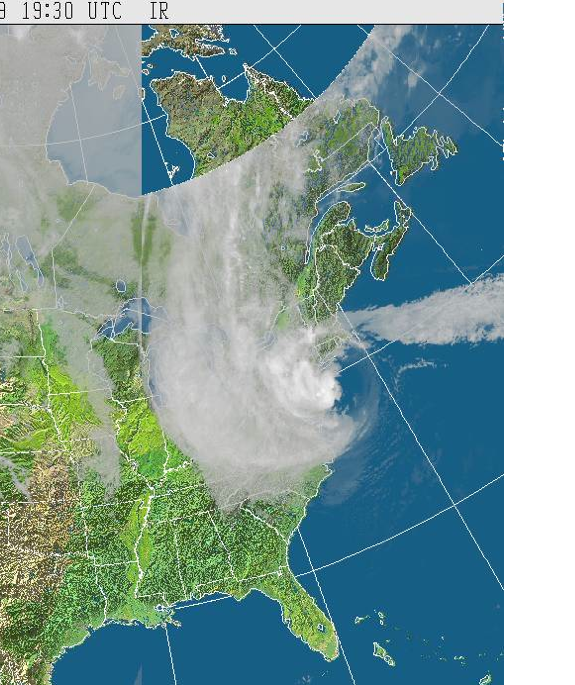
The cloud cover is amazing. The storm was 1000km across. Whipping the winds counter-clockwise, the radar is very interesting.
While the US is in a terrible mess, there is much US-based coverage. Wawa was devasted by the Pre-Sandy storm. We cannot forget them.
Northern Ontario has had snow, too.
Wawa Now | News & Updates
The highway through Wawa is a major transportation route, home to many.
We had big winds and big rain in S.E. Ontario, but nothing like the rest of the continent. On Wednesday, Hallowe'en day, we drove into the city. These are photos taken between Ottawa and Carleton Place.
 |
| Little strips of cloud |
 |
 |


4 comments:
I should have waved when you went past! I can recognize that bridge over the Mighty Carp!
Glad you are safe. And yes, at least in this part of the US, media coverage of Canada is very spotty.
Wow, that road really took a beating. It made me think of the highway to Whistler, BC, which used to wash out on a more or less regular basis until the Olympic committee restructured it.
K
That first picture is scary, the storm is so big! Your photos are interesting, showing the depth of the aftermath cloud-cover. Hope you are doing well where you live!
Post a Comment